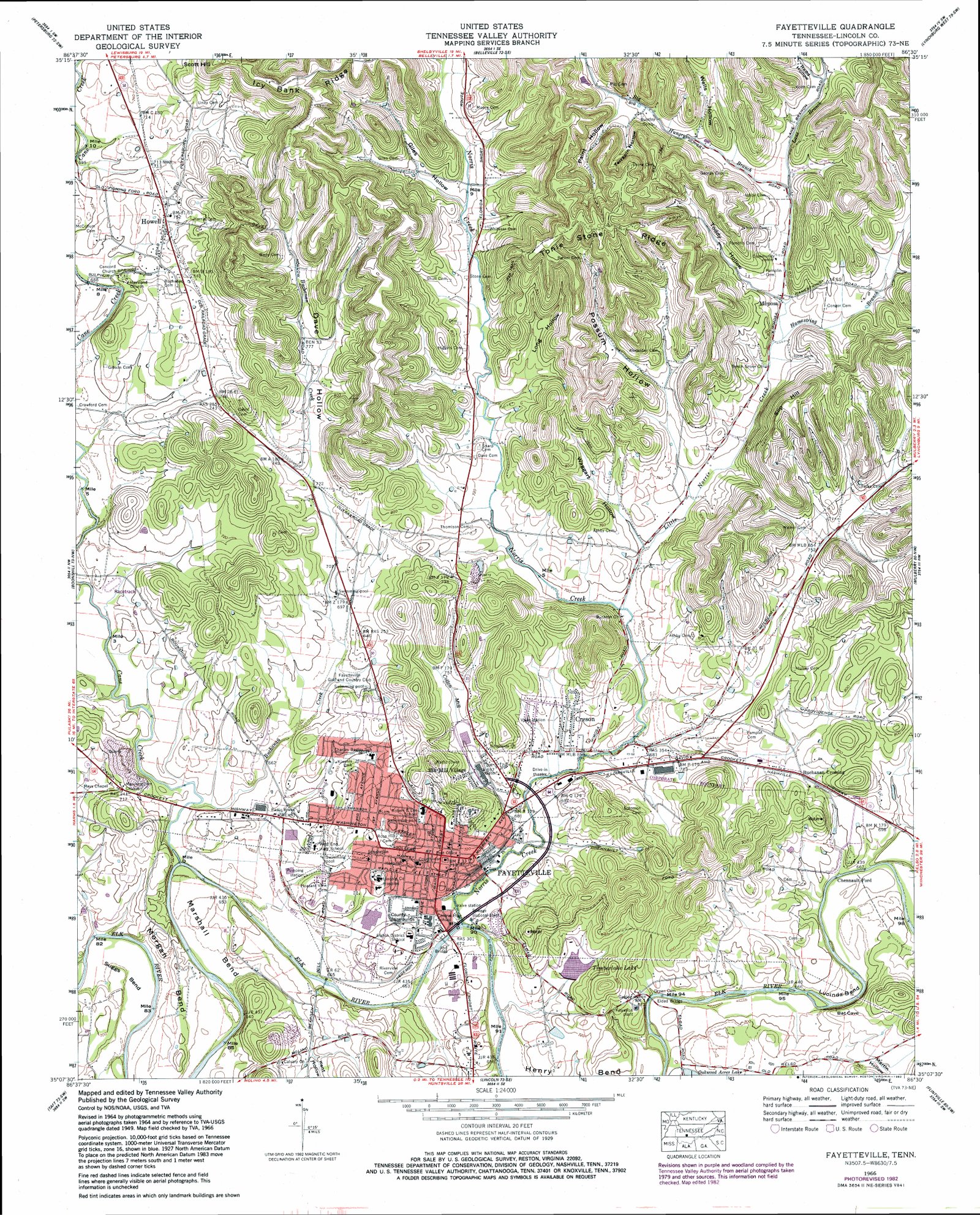
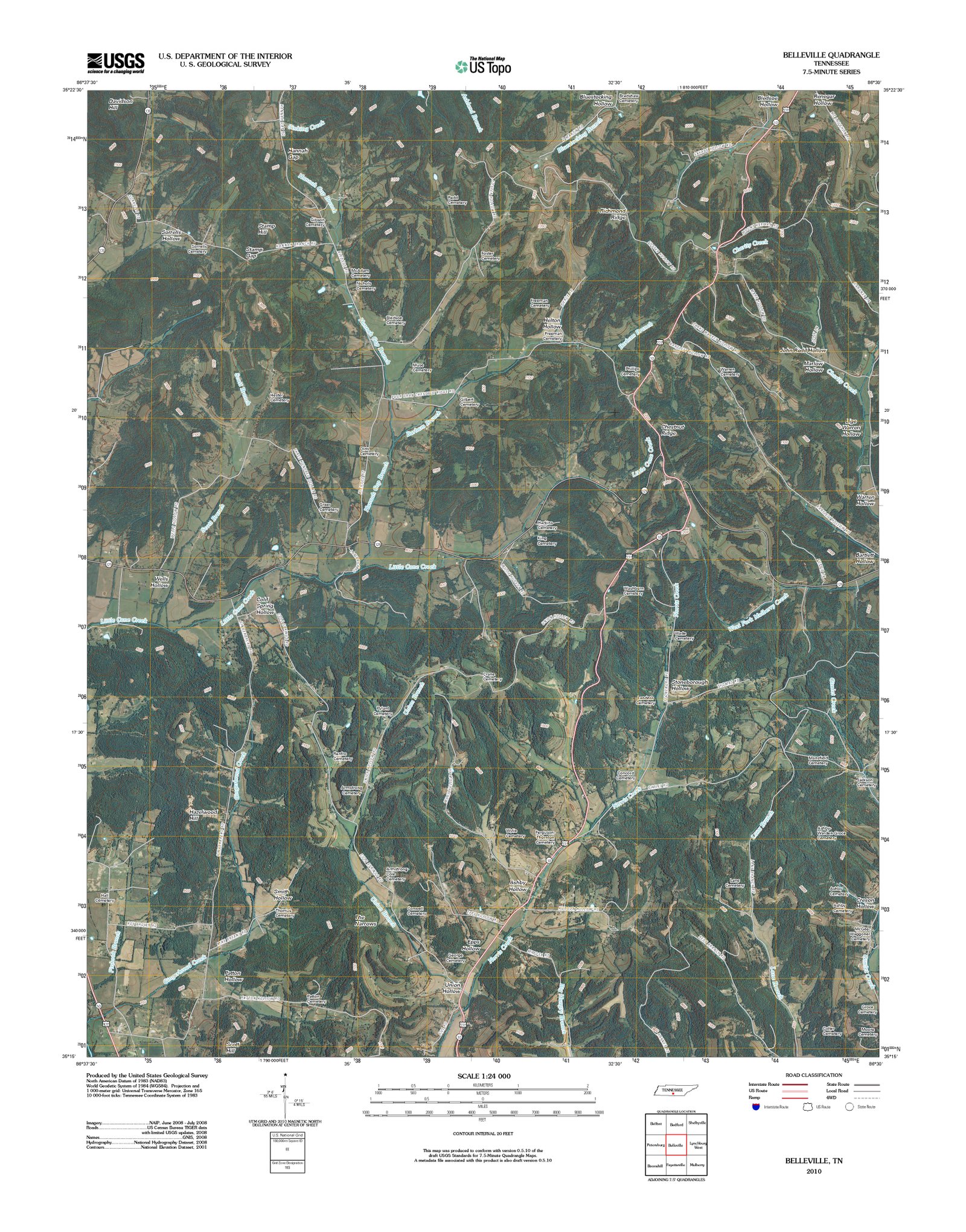
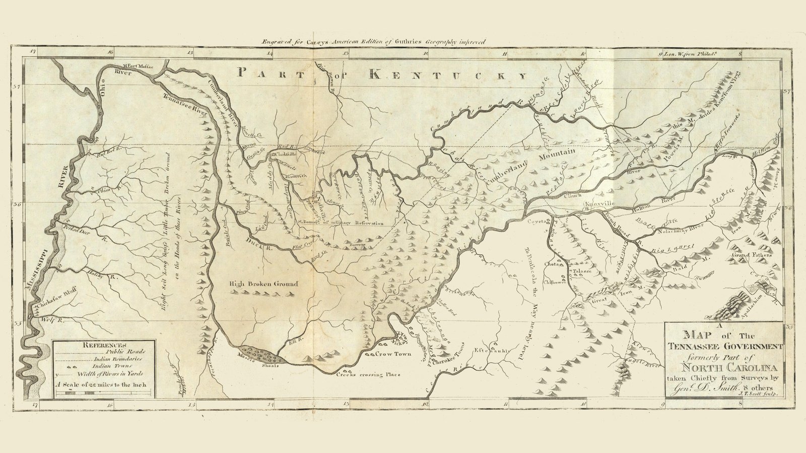
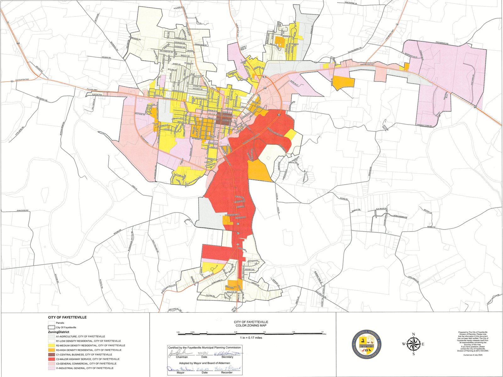
This Maps Album offers a comprehensive visual history of the region, ranging from broad historical world maps featuring early depictions of Tennessee to precise USGS topographic surveys of Lincoln County’s terrain. The collection is highlighted by an extensive series of Sanborn Fire Insurance Maps for Fayetteville and Petersburg, which provide an extraordinarily detailed snapshot of local life across multiple decades. These color-coded diagrams document not only street layouts but also the specific construction, materials, and commercial use of individual buildings at the time of printing, allowing viewers to trace the growth of the community and observe how neighborhoods evolved by comparing the changes between different editions.